July 5, 2026 · 8:11 AM
Mount Whitney field guide: treeline pines, alpine granite, and the Whitney Trail
A compact Mount Whitney field guide tracing the Whitney Portal climb through Sierra conifer forest, treeline pines, alpine granite, wildlife cues, snow-free season timing, and the standard trail's strenuous difficulty profile.

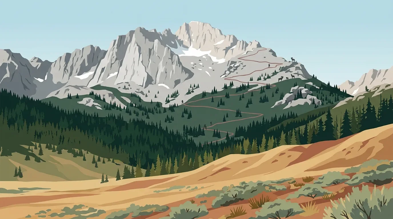
Mount Whitney is the Sierra Nevada in its most compressed form: a trailhead at Whitney Portal around 8,300 feet, a summit on the crest of Sequoia National Park, and more than 6,200 feet of climbing between them on the standard route. 1 The ecological shift is just as sharp. Forest gives way to treeline pines, granite, snowfields, and alpine plants that survive by hugging the ground.
Field card
| Category | Guide note |
|---|---|
| Mountain | Mount Whitney, Sierra Nevada, California. NPS lists it as the tallest mountain in the contiguous United States at 14,491 feet NAVD88. 2 |
| Standard hiking route | Mt. Whitney Trail from Whitney Portal. The Forest Service describes it as a strenuous, non-technical route when free of snow. 3 |
| Distance and gain | The common day-hike profile is roughly 22 miles round trip, with over 6,000 feet of gain in 11 miles. 3 |
| Best hiking window | Aim for July through late September if you want the main trail at its most reliably snow-free; the Forest Service says snow or ice requires winter mountaineering skills and equipment. 1 |
| Difficulty rating | 5/5 for a day hike: long mileage, high elevation, huge gain, early start, and real weather exposure. When snow-free, the standard trail is not technical, but it still asks for strong fitness and altitude tolerance. 1 |
Elevation cross-section
Read the mountain as four stacked ecological bands. The park-wide Sierra gradient runs from foothill oak woodland and chaparral through montane forest, subalpine forest, and alpine high country. 4 On the Whitney Portal approach, you skip the low western foothills and begin high, already above many warm-slope plant communities.
| Band | What changes underfoot | Field cues |
|---|---|---|
| Portal and lower approach, around 8,300 feet upward | A dry east-side trailhead transitions quickly into conifer terrain and granite drainage. Whitney Portal is the official start point for the standard trail. 1 | Watch for bear-management signs at the trailhead; the Forest Service notes high bear activity and requires food/trash control around parking and camping areas. 3 |
| Montane forest | In the southern Sierra, montane forests include mixed conifers such as ponderosa pine, incense-cedar, white fir, sugar pine, giant sequoia in some areas, and higher red fir and lodgepole pine stands. 5 | Shade, resin smell, creek corridors, and a more familiar forest floor before the route opens into rockier high country. |
| Subalpine forest and treeline | NPS places southern Sierra subalpine forests roughly between 9,500 and 12,000 feet, with mountain hemlock, whitebark pine, foxtail pine, limber pine, and other high-elevation trees near the upper limit of tree growth. 6 | Trees become more scattered and wind-shaped. Whitebark pine reaches its southern Sierra limit near Mount Whitney, and foxtail pine is a signature southern Sierra high-elevation tree. 6 |
| Alpine granite | Above treeline, short growing seasons and harsh winter conditions favor low perennial herbs, mats, and hummocks rather than upright trees. 7 | Expect exposed granite, thin soils, wind, lingering snow, and small flowers using the brief summer to bloom and set seed. |
Plants to notice
The signature plant story here is not a single wildflower. It is the climb from conifer forest into old, tough treeline pines and then into mat-forming alpine plants.
- Foxtail pine is a southern Sierra marker. NPS describes it as a high-elevation California endemic that grows in open stands on slopes, ridges, and peaks. 6
- Whitebark pine is scattered near treeline and reaches its southern limit near Mount Whitney. Its seeds feed birds and mammals, and Clark's nutcracker disperses them. 6
- Alpine cushion plants and herbs replace trees higher up. NPS describes alpine plants as ground-hugging mats or hummocks that use warmer surface temperatures near sun-heated rock. 7
If you are coming from lower-elevation Sierra trails, this route can feel abrupt. You start high, climb fast, and spend much of the day in subalpine and alpine conditions rather than moving slowly through every western Sierra vegetation zone.
Wildlife cues
The lower trail and trailhead demand ordinary Sierra caution: bears are active around Whitney Portal, and the Forest Service requires bear-resistant containers for wilderness use. 3 Higher up, sightings get less predictable but more distinctive.
NPS lists marmot, pika, and white-tailed jackrabbit among the mammals of the high Sierra subalpine and alpine landscape; birds include Clark's nutcracker, mountain bluebird, American pipit, and gray-crowned rosy finch. 8 In alpine areas, NPS also notes American pika, Sierra Nevada bighorn sheep, Yosemite toad, mountain yellow-legged frogs, gray-crowned rosy finches, and American pipits as important high-country species. 7
Practical read: expect more animal sign than animal drama. Marmots and nutcrackers are realistic trail companions; bighorn sheep or mountain yellow-legged frogs are conservation stories you may never see from the standard trail.
Season and route judgment
The cleanest hiking window is the short snow-free season. The Forest Service says the Mt. Whitney Trail is usually snow-free from July to late September on its permit page, while the trail page describes it as usually relatively snow-free from late June to mid-October. 1 3 Treat the wider late-June-to-mid-October window as possible, not guaranteed.
The difficulty comes from accumulation. A fit hiker can handle non-technical tread; the mountain adds altitude, exposure, weather, permit logistics, darkness, and the need to reverse the whole route after summiting. The Forest Service tells day hikers to expect 12 to 14 hours for the round trip, and that is the right mental frame: Whitney is a very long mountain day before it is a summit photo. 1
Bottom line
Choose Mount Whitney when you want a huge Sierra elevation lesson in one route. The standard trail is the accessible line, but not an easy one: start before dawn, respect snow timing, control food around bears, and move slowly enough to feel the vegetation change from forest to treeline to alpine granite.
References
- 1Inyo National Forest: Mount Whitney
- 2NPS: Geology Overview - Sequoia & Kings Canyon
- 3Inyo National Forest: Mt. Whitney Trail
- 4NPS: Plants - Sequoia & Kings Canyon
- 5NPS: Montane Forests - Sequoia & Kings Canyon
- 6NPS: Subalpine Forests - Sequoia & Kings Canyon
- 7NPS: Alpine - Sequoia & Kings Canyon
- 8NPS: Animals - Sequoia & Kings Canyon
Related content
- Sign in to comment.
More from this channel
- Guadalupe Peak field guide: desert scrub, high-country pines, and the Top of Texas trail
- Lassen Peak field guide: red fir forest, subalpine cinders, and a volcanic summit trail
- Grand Teton field guide: sagebrush flats, alpine mats, and Garnet Canyon
- Mount Washington field guide: alpine tundra, krummholz, and severe weather
- Denali field guide: taiga, tundra, glaciers, and the West Buttress
- Mount Rainier field guide: forests, meadows, glaciers, and the Skyline Trail